Wednesday, June 26, 2013

MITCHELL

NEIL TURNER WEIR
TUES 25.06.2013: Neil Turner Weir is a small weir located on the northern side of the town of Mitchell. The weir holds back the waters of the Maranoa River and was built in 1984. The weir supplies water to the town of Mitchell, is used for irrigation and regulates stream flow. Must advise that we have implemented the Brylcreem Program (for those of you that remember Brylcreem). Slick your hair down with water and hope that when it dries there will be some semblance of order - unfortunately we still have many Mad Professor hair days! Also, for some unknown reason we are finding that fellow travellers are stopping to comment on the puddles and their beds, jackets and blankets - do not understand what the issue is!
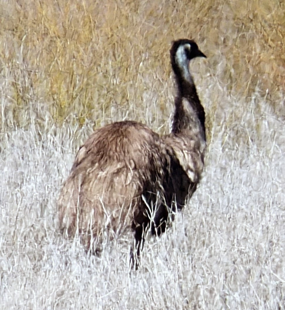
ANNETTE (MACDOG), YOU WOULD
BE S-O PROUD TO CALL
THESE TOUGHIES YOUR OWN!
 

MITCHELL - POPULATION: 944

MUCKADILLA HOTEL
MONDAY 24.06.2013: Surprisingly we made the decision to have a short drive day. As such, we did not set sail till midday and drove a good 50 metres up the road to the Muckadilla Hotel which was built in 1912. - great atmosphere. There are two benches out the front of the pub, one is for yarns and one for politics.
CAROLE "THE THINKER" PEEL


BOTTLE TREE


SAYS IT ALL!

 
Next stop was Mitchell -  the town is named after Sir Thomas Mitchell explorer and Surveyor General of New South Wales, who explored the area in 1846. In 1902, after a short stand-off, bushrangers Patrick and James Kenniff were captured south of Mitchell at a location now known as arrest creek. Patrick was hanged in 1903 for the murder of Constable George Doyle and Albert Dahlke, while James was released after 12 years imprisonment and died peacefully in 1940. We made our way to the Downshire Arms Hotel - interesting. Our two drink pub crawl finished at Mitchell as the Neil Turner Weir Camping Area was only 2 klms down the road!
B-I-G DULBYDILLA WINDMILL
This windmill was relocated from Dulbydilla Stock Watering Facility approximately 20 km west of Mungallala in 1994. It was commissioned by the Stock Routes and Rural Lands Protection Board in June 1955.


Tuesday, June 25, 2013

MUCKADILLA


THE B-I-G RIG AT ROMA
SUNDAY 23.06.2013: Began our day at Roma (population 6,763), the district was explored by the New South Wales Surveyor-General, Sir Thomas Mitchell, on his fourth expedition in 1846-47. Travelling from the south he established a depot on the Balonne River at St George. Paid a record amount at the Laundromat today - $6.00 per load! Certainly wiped out our coin supply. In the throws of planning our next stop and Carole came across the town of Muckadilla - we just had to stop there. Pulled into the Muckadilla Community Park (gold coin donation) - loved it, only one other van. Muckadilla is located some 550 kilometres west of Brisbane on the Warrego Highway. Muckadilla is known as a large grain producing area and the town services the surrounding district. The Queensland government put down a test bore in the late 1800's and believing the water had healing powers, visitors flocked to the area looking for cures, the locals now use the bore as their drinking water. It was advertised as being able to cure everything except a wooden leg! 
"OUTHOUSE" IN THE MIDDLE
OF EITHER A GOLF DRIVING OR
SHOOTING RANGE
MUCKADILLA BORE
BATH HOUSE 1900'S

Saturday, June 22, 2013

SURAT - POPULATION: 300

DOESN'T QUITE INDICATE
THE SEVERITY OF THE POT HOLES!
SAT 22.6.2013: From the time we woke all energies were focused on "Operation Pot Hole Exit". The generator was brought to the front of the motorhome so as to lift the back and Carole was left outside (not because of her weight), but as the "Poodle Palace" navigator. We had determined that a sojourn into the bush would keep us away from the worst of the road. Carole stood shovel in hand ready to dig if need be and pinned against the shrub trying to keep the branches off the motorhome. Drove up without an issue and the only scrape came from the shrub. After the celebrations were complete we drove to Surat. The area was explored by the New South Wales Surveyor-General, Sir Thomas Mitchell, in 1846, who travelled along the Balonne River. A year later Thomas Hall occupied Yambungal the first of numerous pastoral stations in the area that was classified as Maranoa East. The town was named after a town in West India.
THE REASONABLY BIG KOOKABURRA!
We stayed at the Fishing & Restocking Club Park (gold coin donation). This is an excellent spot, but somewhat crowded for our taste - does not help with the commencement of the QLD School Holidays!

ST GEORGE - POPULATION: 2,411

FRIDAY 21.06.2013: The day began as any other, but deteriorated as it went on. We finally made it to St George and decided to visit IGA - as usual a trolley full of items. Paying with Eftpos and the heart wrenching "DECLINED" appears. After the event we remembered that all the direct debits come out today and GUESS WHAT - they did! Sybil was left at the check out with the trolley and Carole returned to the motorhome (parked out the front of the shop), to transfer money on the computer. Telsta as always, did not respond quickly. Meanwhile back in the store the lass that had served us had taken to standing on the podium (felt like this), telling all customers and other staff not to come to her lane as she was waiting for payment. Sybil finally suggested that she should put up her "Lane Closed" sign so as to negate the need for any further public announcements. Where is the car parked - Sybil pointed to the motorhome and both longingly stared at the motorhome waiting for the Financial Manager to make an appearance. Are you travelling - ah yes - how long do you think she will be - how long is a piece of string! We both finally breathed a sigh of relief as Carole came into view some (what felt like an eternity), 10 minutes later. The bill was paid and we hastily left the area!
We arrived at Beardmore Dam Freedom Camp 15 klms north of St George, with a 1 klm dirt road - turn at the first grid. We did and there was a series of huge pot holes that extended about 12 metres. Nav (Carole) immediately said that we should move on, but the driver in her infinite wisdom - not, determined that we would be able to make it without difficulty. Poodle Palace did make it down without incident (except for the big tilt into the pot hole), but it finally dawned on Sybil that exiting would actually be more difficult than entering. Had a l-a-r-g-e wine then returned to the pot holes to formulate an exit strategy!

DIRRANBANDI - POPULATION: 1,000

THURSDAY 20.6.2013: What a surprise, we did not make it to St George! Instead we stopped at the Balonne Minor Bridge Freedom Camp some 3 klms west of Dirranbandi. Having travelled further north we have begun seeing the other half of the National Emblem - emus, mostly in pairs munching their way through the paddocks. Very aware of both humans and vehicles - the moment they sense your presence the head rises and the alert is sent out - humans around, move on!
 

Thursday, June 20, 2013

HEBEL, QLD - POPULATION: 29 (15 OF THE 29 ARE SCHOOL CHILDREN)

NAV HAD A PRACTICE
DRIVE INTO HEBEL
WEDNESDAY 19.6.2013: The plan was to drive back to Grawin so that Carole could spend the day fossicking. Alas, the fossicker woke somewhat stiff after yesterday's activities so we have for the moment cancelled any further field excursions! We f-i-n-a-l-l-y left Lightning Ridge and headed for St George. Gail Collins had mentioned a stop at the General Store and Woolpack Dining Room at Hebel (made it into QLD), for a "good home cooked meal". We had a beautiful lunch and a drink at the rustic pub opposite. Just happened to be a sort of caravan park at the back of the store so we stayed the night. We will conquer St George tomorrow! Minor detail - having paid for our accommodation we later discovered a Freedom Camp some 100 metres down the road by the river that was not mentioned in "The Bible" - oh well, town donation. 
GENERAL STORE
ESTABLISHED IN 1897
WOOLPACK DINING ROOM


Tucked away on the NSW/QLD border between Lightning Ridge and Dirranbandi on the Castlereagh Hwy is Hebel, once known as Kelly's Point because it is believed that Ned Kelly's brother Dan and fellow Kelly gang member Steve Hart lived here under an alias. Just goes to show you never really know who your neighbours are!

LIGHTNING RIDGE - POPULATION: ?

FRI 14 - TUES 18.6.2013: Love it, love, love it! As the sign states - population ? Just out of college (in the 60's), Carole had a two week stay at "The Ridge" with a female gem cutter (the only one in town at the time). One evening Carole was left shot gun in hand to protect the precious stones. All well and good, but Carole was unable to release the safety catch! Asking subtle questions as you do here, we have found that the lady (yes Carole did remember her name), only passed away a few years ago and different people have offered tiny bits of information. Interesting place - did we mention we loved it! Lightning Ridge is so called because the unique composite of the ground's minerals attract regular electrical storms to the area, adding to the attractiveness of the landscape as it lights up the darkest night as if it were day. We are staying at Crocodile Caravan and Camping Park - we booked in for 3 nights and are staying for 5! The park is very small with only 10 sites available, but very clean, friendly and quirky. Would stay here again, with the bonus of a field next door for the puddles to exercise. Spent time walking round "downtown" Lightning Ridge and saw the dramatic changes that have occurred, then had lunch at the very large Lightning Ridge District Bowls Club.
ACQUIRED A PLAYING PARTNER!
MURAL AT THE CARAVAN PARK
Arranged for a pick up to the award winning "Black Queen Theatre - 'Legacy' - The Gift of Light". This is an absolute MUST DO. It is outback theatre, but much more - Gale and Roger Collins open up their hearts and home allowing you to have a once in a lifetime experience. This is an inspiring collection of stories told in a wonderfully mystifying way. You understand the true meaning of a legacy - photos do not tell the full story. Visited the Sunday Markets which are held at the Information Centre and as always managed to buy some goodies. Fossicker Peel spent time fossicking in the mullock heap outside the Information Centre.
SYBIL & GALE COLLINS


MARKETS


It is advertised that it only takes 8 hours from Sydney to Lightning Ridge - we took 8 days from Coffs Harbour! Nearly all the tourist attractions in Lightning Ridge are based on the owner's passion for their particular interest and a desire to share this which in turn makes your experience greater. Obviously they are also earning an income! Another great day was a trip out to the Chambers of the Black Hand. Over a 14 year period Ron Canlin carved 500 plus carvings in the sandstone 11 metres underground in a 100 year old mine - he also found time to work the mine! We were fortunate enough to have Ron actually take us on the tour - again, you were able to gain a sense of the passion he feels for the project. Carole then spent an afternoon fossicking in Ron's mullock heaps at the back of the mine.
RON CANLIN
& CAROLE


SYBIL CAUGHT THE OLD MINER'S
LIFT UP & CAROLE CLIMBED
THESE STAIRS - ONLY FAIR

B-I-G STANLEY -
JOHN MURRAY/TIM
PARSONS
FACES IN THE
DIRECTION OF HIS
SPIRITUAL BIRDSVLLE


1932 MINER'S COTTAGE
NOW THE HISTORICAL SOCIETY

'GODDESS OF 67' OLD CHURCH FILM SET
BEVAN'S BLACK OPAL AND
CACTUS NURSERY - 1,000S OF SPECIES THAT
TOOK 50 YEARS TO COLLECT
 

AMIGO'S CASTLE - PRIVATE DWELLING
STARTED IN 1983 AND SINGLE-
HANDEDLY BUILT BY AMIGO
ASTRONOMER'S MONUMENT BEGAN
IN 1983 BY ALEX SZPERLAK

Tuesday, June 18, 2013

WALGETT - POPULATION: 1,734

WED 12 - THURS 13.6.2013: Began the day organising for our departure from Narrabri then received the call from Anette (Carole's sister), to advise of a severe storm warning - thunder, lightening, threat of hail etc. etc.! Checked the weather reports and it was in our best interests to remain put. Went up and paid for another night and had to power walk back to the motorhome to miss the rain - took the afternoon to recover! Thursday dawned and we woke to the
"DON'T FIND RAINY DAYS
ALL THAT STIMULATING"!
B-I-G fog. Made the decision to exit the Showground and head for Lightning Ridge. Tye Davies suggested we stop at Burren Junction Baths Reserve - a  must do. We left Narrabri still debating on which of the "winter figures" would don their swimming costumes for a dip in the baths or alternatively, assume the role of photographer! Talk about the big wet - the red soil camp was flooded with only water sites available. Another motorhome that had stayed at Narrabri Showground pulled up and we all made the same decision - next stop Walgett! Stayed at the newly opened Alex Trevallion Park Freedom Camp 2klms south of Walgett.
ALEX TREVALLION PARK


AH - THE JOYS OF TRAVEL!


Wednesday, June 12, 2013

NARRABRI - POPULATION: 5.890

SUN 9 - TUES 11.06.2013: We are headed for downtown Narrabri, a country town that Carole lived in for 2 years when she was 15 - just a few years ago! On the way to Gunnedah we encountered our first "cattle drive through". Carole had a lovely time taking photos whilst Sybil manoeuvred Poodle Palace through the herd. Drove to Narrabri (proclaimed in 1860), which surprisingly in the time since Carole lived there has changed considerably. Spent three nights at the Narrabri Showground ($14.00 per night for power and water). Rained for the first two days, then when the skies cleared we went sight seeing.
BIG TOMATO AT
GUNNEDAH
Narrabri (Forked Water), is situated on the Namoi River and sits on the junction of the Kamilaroi and Newell Highway. Narrabri township is quite prone to flooding and is the centre of a major cotton growing industry. We set out to see Carole's family home and after a quick call to Anette (Carole's sister), to confirm the address we found it. As expected their had been changes, but the house was still able to be recognised. 
Next stop, Narrabri High School which had only
just been built when the Peel family came to Narrabri. We were escorted down to the hall where the Honour Boards are now housed - had to take a photo.

CLASSES OF 2013 & 1959

NARRABRI HIGH


Onward to the Namoi Creek. Carole would finish school and swim across the creek with school clothes held above her head to the Swimming Pool for training. Oh how times have changed!
 
 
Our final stop was at the CSIRO Australia Telescope - Astronomy and Space Science. Consisting of six 22m wide dish antennas which work together to simulate a much larger antenna that allows astronomers to observe very fine detail in space.  


No shortage of the National Emblem at the site - masses of kangaroos.