Wednesday, November 27, 2013

WAGIN


WAGIN WATER GARDENS
MONDAY 25.11.2013: Wagin was first settled as early as 1840 however official land grants were issued from 1879 and the town was originally named Wagin Lake in 1889. The word "Lake" was dropped two years later. Wagin is an aboriginal word meaning "place of emus or emu's Watering place."


Wagin Historical Village is regarded as one of the finest social history museums in Western Australia. It is a volunteer enterprise started in 1978 and includes 25 original or replica buildings.
STYLED ON ST PAULS ARTHUR RIVER CHURCH (1885)


1891 - FIRST BLACKSMITH IN WAGIN
WATTLE & DAUB HOUSE - MODEL OF THE FIRST WAGIN HOUSE CIRCA 1880
WAGIN HISTORICAL VILLAGE

Tuesday, November 26, 2013

WAGIN - POPULATION: 1,845

OPEN CUT COAL MINE ON THE WAY TO DARKIN
SUNDAY 24.11.2013: From forest to Wheatbelt - Darkan (population 490), was originally settled by William John Gibbs and his family in the 1860s. Gibbs established a property called "Darkan", using a local Aboriginal name which means Black Rock. The townsite developed when the Collie to Narrogin railway line was built, and in 1906, the townsite was gazetted.
HERITAGE BOWELLING TRAIN
STATION


Six Mile Cottage was built in 1929 by Richard Strange for his brother-in-law Joseph Symonds.

SIX MILE COTTAGE


Went in search of Darkan Station and found the Lions Club Back of the Boot Sale. Pack up had begun, but as soon as they saw "business" all sat down and waited for our approach. Purchased herbs, books and a Christmas plate, plus of course a sausage sandwich.
HERITAGE DARKAN TRAIN
STATION

BACK OF THE BOOT SALE -
AS WE LEFT!


Arthur River (population 381), is named after the river that flows through it. The river was named by Governor James Stirling in 1835 after Mr Arthur Trimmer who was a member of the exploring expedition led by the Governor. Following the introduction of convicts in Western Australia labour to the Swan River Colony in the early 1850s, the road from Perth to Albany was completed and a number of small settlements sprang up along it to support pastoralists who had been granted grazing leases in the area from as early as 1854. Arthur River gradually developed into a thriving centre with a police barracks and gaol (1866), the Mount Pleasant Inn (1869), St Paul's Church (1885).
St Paul's church and Old Post Office at Arthur River. Built in 1883 - the church and graveyard are still in use today.


Booked into the Wagin Showground. $8.00 per night with power, water, dump point, garbage bins and endless fields to park in - perfect!
'BART', THE RATHER WELL ENDOWED G-I-A-N-T RAM AT WAGIN 
9 TIMES THE SIZE OF A LIVE RAM

Sunday, November 24, 2013

COLLIE - POPULATION: 9,056

FRI 22 - SAT 23.11.2013: Left Peel Shire (yes, Peel Shire), and headed for Route 107 a self guided tour from the Indian Ocean and the South West Highway through Collie, Darkan, Arthur River, Wagin, Dumbleyung, Kukerin, Lake Grace, Newdegate and Lake King. It is a 390 km drive that links the tall timbers of the Indian Ocean hinterland to the horizons of the outback and numerous lakes and waterways.
Collie is mainly known as a coal-producing centre, but also offers industrial, agricultural and aquaculture tourism industries. The town is named after the river on which it is situated. James Stirling named the Collie River, which in turn is named after Dr Alexander Collie. He and William Preston were the first Europeans to explore the area in 1829. Coal was discovered in the area by a shepherd named George Marsh in the early 1880s. The coal fields were developed in the late 1890s and the townsite surveyed and gazetted in 1897. Stayed at Stockton Lake - a disused opencut coal mine now filled with water - $7.00 per night.


Encountered a strange precipitation emanating from the sky - asked around and was advised that it was RAIN! Last time we had rain was in June at Narrabri.

STOCKTON LAKE

Saturday, November 23, 2013

BOUVARD MANDURAH


WEDNESDAY 20 - THURSDAY 21.11.2013: Very relaxing stay here and the bonus, the cricket has begun! Must preface this story by saying that this is our store for Christmas purchased at Dan Murphy while we had the opportunity! Cricket was on and the motorhome was a little warm - we were on an unpowered site so decided to move outdoors and watch on our smaller television. Oops, the 12 volt connection is not quite long enough - not at all precarious, but it did the job!


BOUVARD, MANDURAH - POPULATION: 821

TUESDAY 19.11.2013: Set sail (ha), for Fremantle (population 25,000), located at the mouth of the Swan River. Fremantle Harbour serves as the port of Perth, the state capital. Fremantle was the first area settled by the Swan River colonists in 1829 and was declared a city in 1929. The city is named after Captain Charles Howe Fremantle, the English naval officer who had pronounced possession of Western Australia and who established a camp at the site. The city contains well-preserved 19th-century buildings and other heritage features. 
'DUYFKEN' 1606 REPLICA
SAILING SHIP
Global attention turned to Fremantle when it hosted the America's Cup yachting race in 1987, after Australia was the first country to ever win the race, aside from the USA, in 1983. The unsuccessful cup defence was conducted on the waters in Gage Roads, and is considered a hallmark event of the late 20th century revitalisation of the city. Fremantle has subsequently served as a stopover in the Clipper, VELUX and Volvo round-the-world yacht races, and hosted the 2011 ISAF Sailing World Championships, a major qualifying event for the 2012 Summer Olympics.
TRIBUTE TO THE FISHING
COMMUNITY
Had lunch at the Kailis Café - known for their fish and chips. Bought prawns for tea that evening - have to say without bias, W-A-L-L-Y'-S prawns are still the best!
Onward to Rockingham where we called into the Information Centre. The lady suggested we take the scenic coastal road to Mandurah - a lovely drive. Booked into the Estuary Hideaway Holiday Park - reminded us very much of Tilligerry Creek.
COASTAL DRIVE


Wednesday, November 20, 2013

ORANGE GROVE - POPULATION: 544

SYBIL, SHAYDEN, MADISON (SQUASHED
BETWEEN THE HUMANS), LYN, LULU  &
GRANDDAUGHTER NIKITA
SAT 16 - MON 18.11.2013: Well may you ask - why Orange Grove? During one of our gale force wind periods the door plate pulled away from the step and we were waiting till we reached a Jayco dealer to have the repair completed. Found the Jayco dealer just down the road from Orange Grove and more importantly on the same street, Dan Murphy. Booked into Crystal Brook Caravan Park then made the call to Jayco - booked out till the New Year. We were provided with alternative numbers and most were closing for Christmas. Finally found Terry that not only did caravan repairs, but made house calls! SO, in downtown Orange Grove we really only concentrated on domestics. Did visit Lyn Taylor, a lady that Sybil had worked with during her time with Special Olympics - unfortunately due to our location Lyn proved to be w-e-l-l over the other side of town!

Monday, November 18, 2013

CERVANTES - POPULATION: 467

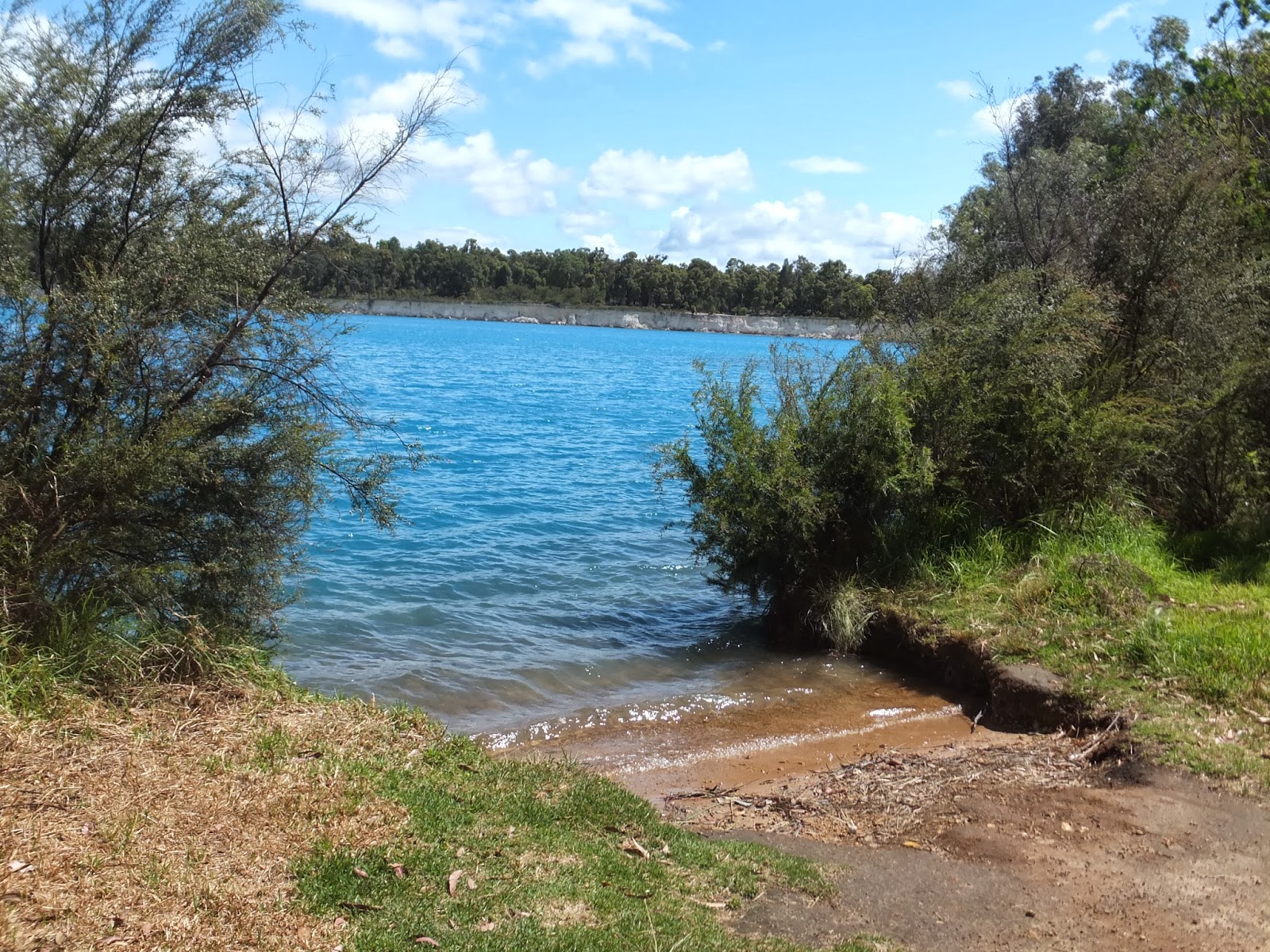
FRIDAY 15.11.2013: The main reason for visiting this area was The Pinnacles. The Pinnacles are limestone formations contained within Nambung National Park, near the town of Cervantes
BEST WE COULD DO IS AN INTERNET PHOTO!
The raw material for the limestone of the Pinnacles came from seashells in an earlier epoch rich in marine life. These shells were broken down into lime rich sands which were blown inland to form high mobile dunes. The mechanisms through which the Pinnacles were formed from this raw material are the subject of some controversy, with three mechanisms having been proposed. As The Pinnacles are in the National Park we had hoped to do the 'drive through'. Tried to organise doggy care - no, no to leaving the dogs in the car park - essentially no! Little disappointed we missed this, but we knew National Parks would be the trade off for bringing the puddles on the road trip! Instead we drove through the National Park on Indian Ocean Drive to reach our next destination - go figure! Did enjoy the wildflowers.


The great find of the day were the endless fields of grass trees all the way down the Indian Ocean Drive.


Stayed the evening at Moore River Bridge Rest Area. We have finally found the ultimate fashion accessory. As we have moved further inland the flies have become above and beyond unbearable. Saw fellow travellers in the hat nets and we have finally succumbed - they are s-o attractive, but effective!
WE WILL BE ADDING STRAW HOLES!


Leyland Madison has also conceded and is more than happy to don the net - yes, Sybil has to purchase another net for her use!

Saturday, November 16, 2013

JURIEN BAY - POPULATION: 1,507

JURIEN BAY JETTY
WED 13 - THUR 14.11.2013: The coastline around Jurien Bay was first known to Europeans in the 17th century. In 1801–03, an expedition under the command of Nicolas Baudin sailed along the Western Australian coast. Louis de Freycinet, a cartographic surveyor on the expedition, named Jurien Bay after Charles Marie Jurien (1763–1836) of the French naval administration. The first settlement was established in the mid-1850s by Walter Padbury. A jetty was constructed in 1885–87 due to the success of pastoralism. The townsite was surveyed and was gazetted as Jurien Bay on 21 December 1956; it was renamed Jurien in 1959, but reverted to its original name in 1999. Crayfish (also known as Western Rock Lobster) are abundant in the area, and the town's development soon became influenced by the crayfish industry. New jetties, factories and an airstrip were constructed so that crayfish goods could be flown south to Perth. Crayfishing has now become a multi-million dollar industry, sending goods regularly to Japan and the United States.
NOW THIS IS A DOG EXERCISE AREA!
Stayed at the Jurien Bay Caravan Park and yes we did fish off the jetty, but the only success was in catching our friend the Northwest Blowfish. Everyone we spoke to had the same outcome - just not any fish to be caught.


CENTRAL GREENOUGH

GRAY'S STORE (1861)
TUESDAY 12.11.2013: Began the day on the Greenough Walkaway Heritage Trail with a visit just down the road to Gray's Store. Across the road was the Wesley Church - the foundation for this gothic style church was laid in 1867.
WESLEY CHURCH (1870)
Onward to the Central Greenough Historic Settlement. The Greenough Flats form the flood plain of the river system close to the mouth of the Greenough River.
ST CATHERINE'S CHURCH 1892
REPLACED BY TE PRESENT BUILDING IN 1913
The buildings and altered landscape provide an example of colonial expansion in the mid-nineteenth century - an expansion which dispossessed the indigenous population of its resource rich land. Central Greenough developed as the local administrative centre, housing the churches, schools, stores, government and law enforcement offices necessary to service the surrounding farms.
ST CATHERINE'S HALL 1898
During the 1880's Greenough became a thriving agricultural area but the threat of rust on the wheat crops combined with drought, flood and poor prices for agricultural products led to the areas decline.
CENTRAL GREENOUGH SCHOOL 1865
The population of Greenough Flats dropped dramatically in the first half of the twentieth century and many of its' buildings fell into disrepair. In the 1970's the National trust recognised the heritage value of Greenough. There are some 11 buildings at the settlement and many more scattered throughout the area. Had a great time at the settlement - morning tea at the Greenough Store, then hours wandering around the facility accompanied at every turn by alpacas. The fact that you are able to enter all bar two of the buildings, plus watch a documentary on the area all added to the experience and only a $7.00 entry fee. Had planned on stopping at The Hampton Arms (1863) for a refreshment, but alas it was closed!
DO LIKE THE POODLE TOP KNOT!
THE HAMPTON ARMS (1863)
CONVICT BRIDGE


CONVICT BRIDGE - CURRENTLY BEING RESTORED


Finally came to rest for the evening at Dongara East Rest Area.